
Central HCMC Ward Launches Land Map, What Can Residents Look Up?
Tan Dinh Ward has launched a land information lookup application, allowing residents to access land-related data. The application enables searches for land parcels, planning details, area, and various data layers on computers and phones.
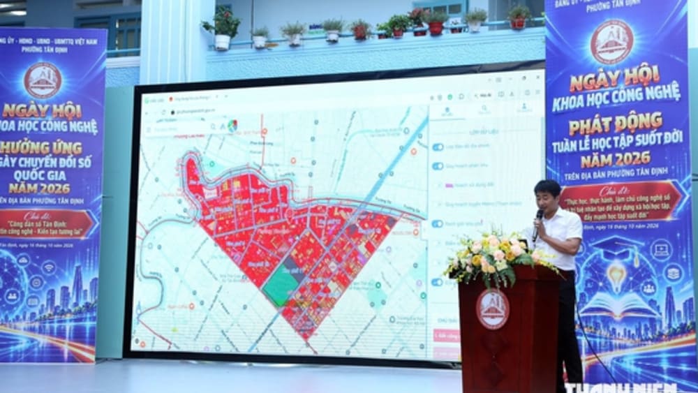
Tan Dinh Ward, a central ward in Ho Chi Minh City (HCMC), has officially introduced a new application designed to assist residents in looking up land information. The application aims to provide easy and quick access to crucial data related to land. Residents can utilize the application on both personal computers and smartphones, offering maximum convenience for accessing information anytime, anywhere. The types of information available for lookup include specific land parcel details, current land use planning, land area information, and various other data layers pertinent to land management and usage. The launch of this application demonstrates the local government's efforts to enhance transparency in information and improve public services in the land sector, contributing to better land management practices in the locality.
Key points
* Tan Dinh Ward in HCMC launched a land information lookup application.
* Residents can search for land parcels, planning, and area details.
* The data is accessible via computers and mobile phones.
Nguồn / Source: Thanh Niên - Thời sự
Ask The Guide to summarize, translate, or find related places and events.
Open Companion